Pycom Pytrack
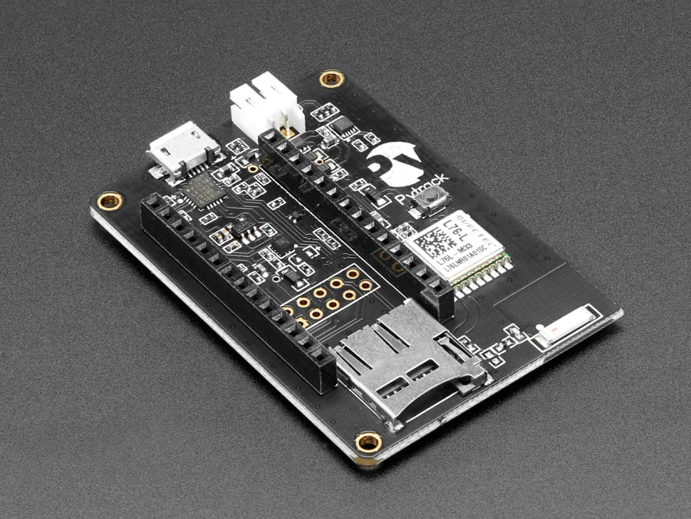
GPS/GNSS tracking expansion board for Pycom modules with GLONASS/Galileo/QZSS support, 3-axis accelerometer, MicroSD slot, LiPo charger, USB serial, and 5 extra GPIO headers. Ultra-low 1µA deep sleep current.
$49.95
Tap any value to browse matching devices
Specifications
Components
Multi-constellation GNSS receiver supporting GPS, GLONASS, Galileo, and QZSS.
12-bit 3-axis MEMS accelerometer for motion detection and tap sensing.
Bus Interfaces
Overview
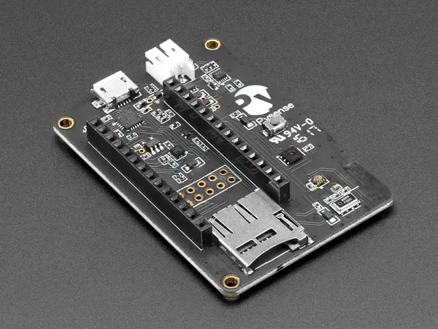
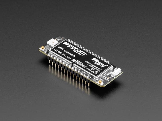
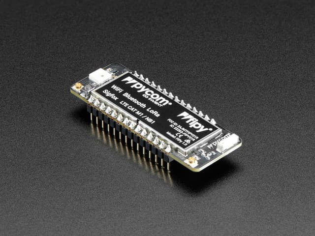
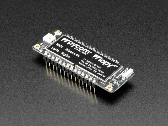
The Pycom Pytrack is a GPS/GNSS geo-tracking expansion board designed to pair with Pycom development modules such as the LoPy, GPy, WiPy 2, WiPy 3, and FiPy. It snaps underneath a Pycom module and extends it into a complete asset-tracking platform without requiring any additional hardware beyond a SIM card and antenna.
At the core of the Pytrack is an integrated GNSS receiver supporting GPS, GLONASS, Galileo, and QZSS satellite systems, providing global coverage and high-accuracy positioning. A 3-axis 12-bit accelerometer enables motion detection, tap sensing, and free-fall detection — useful for detecting theft, shocks, or vehicle collisions. Data from these sensors can be logged to a MicroSD card for offline storage or transmitted over the wireless network provided by the attached Pycom module.
Power management is a key strength of the Pytrack. The board includes a LiPo battery charger allowing operation from a small rechargeable cell, and in deep sleep mode the combined board draws just approximately 1 µA — critical for battery-powered deployments in the field. A USB serial port enables direct connection to a PC for programming or debugging without needing the main Pycom module's USB interface.
The Pytrack adds five additional GPIO headers accessible from the edge. It is programmable via MicroPython using Pycom's firmware, and was a popular choice for fleet tracking, cold chain monitoring, and wildlife tracking applications.
Use Cases
5Asset Tracking
Tracking the location and status of physical assets like vehicles, packages, and equipment.
GPS Tracking
Location tracking and navigation using GNSS satellite receivers.
Fleet Management
Track and manage fleets of vehicles, machinery, or assets using GPS and cellular connectivity.
iot-sensor-platform
Wildlife Tracking
Tracking the location and movement of wildlife, livestock, or pets using GNSS and long-range wireless communication.
Where to Buy
Explore more of the directory — popular use cases, firmware, and specs to browse next.